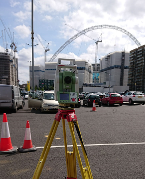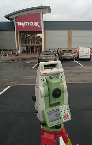
Topographical Surveys
Land Surveying, the foundation of the Mason business and its primary activity today.
We are involved with surveying all types of sites, including roads, airports, urban and rural areas and construction sites. Control can be established and coordinated to a local grid and datum or on National grid and datum using dual frequency GPS units. Detail is captured using the latest high precision total stations and Network RTK GPS units. Data is Quality Assurance checked before being passed to the client in the requested digital format and to the required CAD Standards.
Monitoring
We have extensive experience of installing, maintaining and measuring monitoring systems to detect movement in dams, rail lines and tunnels, roads, runways and other structures.
Points can be monitored by total station, digital level or GPS.
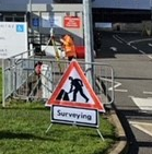
Setting Out
Fully equipped setting out teams can be provided to work in the construction environment, experienced staff use total stations and levels to set out coordinates, points or lines from supplied CAD drawings.